Several websites attempt brief descriptions of the walk – part of the network of Mining Trails – but few really do it real justice; a point we return to below. Cornwall Trails point out that the lode in question was discovered in the 1860s and was effectively worked out by 1920. The ever-reliable iWalkCornwall adds more historical information as is its wont and has a version of the trail which takes a (very sensible) diversion to the top of Carn Brea to admire the Bassett memorial, the remains of the Neolithic hillfort and the miniature castle (now a restaurant).
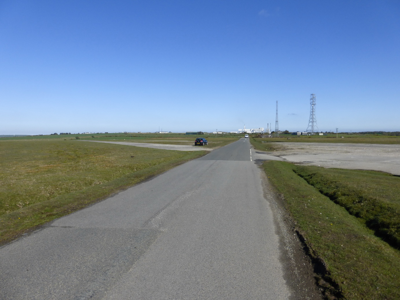
The Great Flat Lode walk is a trail created by Cornwall Council which circles Carn Brea hill and takes you through the heart of Cornwall’s former mining district.
We first walked this route in the dying days of the last millennium, and in the opposite direction. A bright sunny day in late September was too much of temptation and so we set off to do it again, the other way around.
We will admit to any amount of bias but this surely the ‘best’ bit of the whole Cornish coast. The cliffs are rugged granite; the views are spectacular; and there is a real sense of progress as one starts by walking westward, heads south and then ends up walking eastwards. The cliff and rock formations are therefore seen in different lights. On this day, the sea was flat calm and an astonishing array of different colours ranging from deep blue to a watery green.
We started the sixth and last leg of the Copper Trail on one of those May days when one is not sure whether it is going to shower with rain or burn you to a frazzle. It turned out to be a lovely day for a walk: no rain and with enough cloud to prevent over-heating or burning.
Spring had arrived, in a hurry. In a short period of time, leaves had sprung out from branches, fruit trees had burst into blossom, the hedgerows had filled with flowers, and the sun was beating down on a bank holiday weekend. Better still, it had not rained heavily for at least a week and the land was not water-logged.
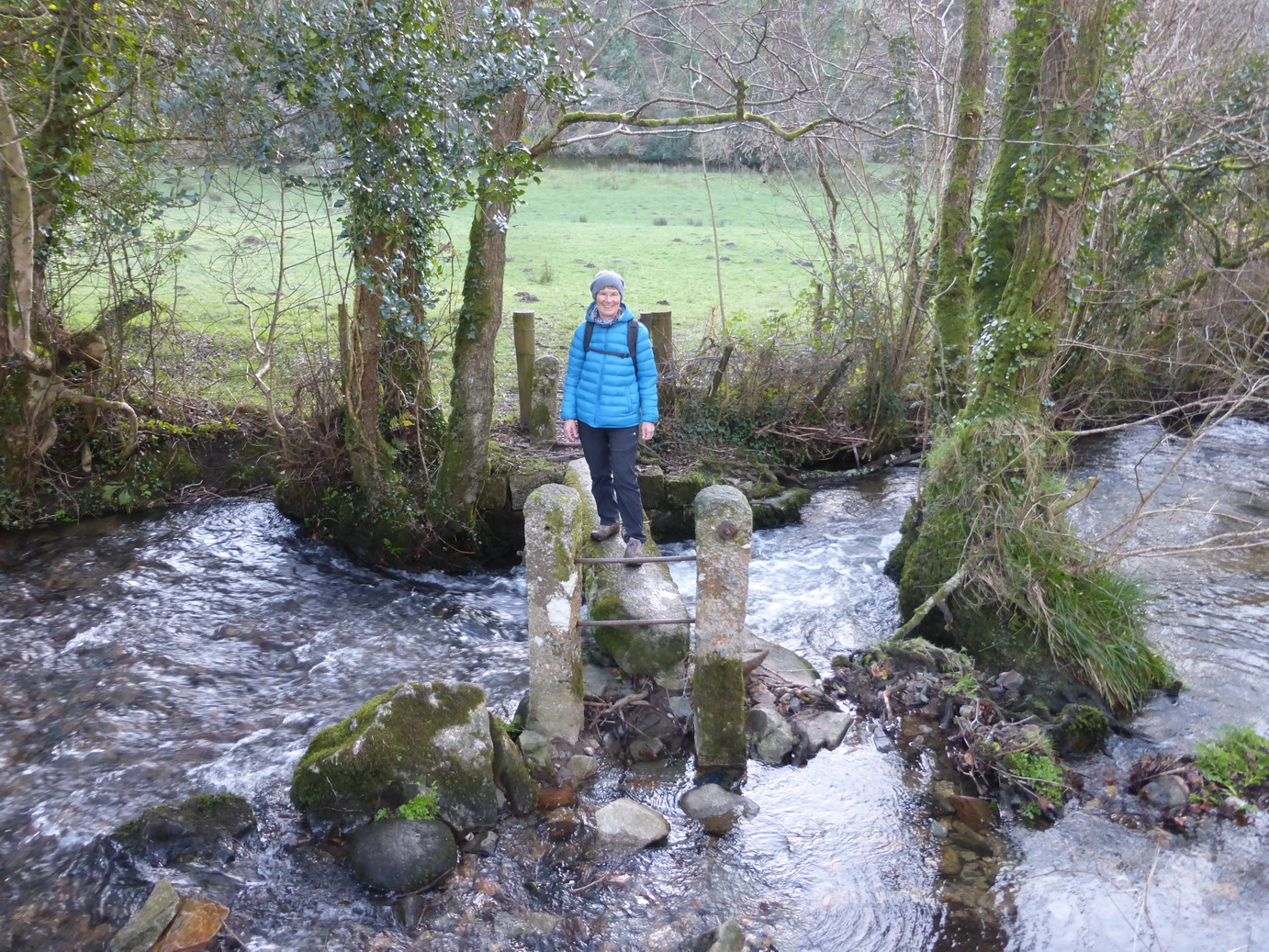
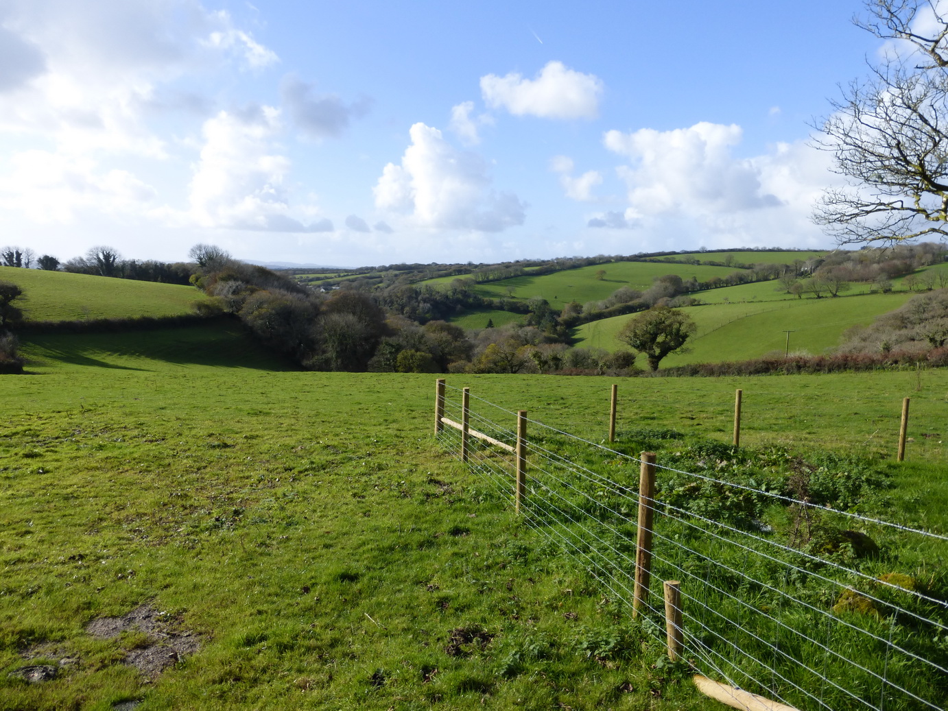
Another rain-free day took us out for the next leg of the Copper Trail. When I say rain-free, this does not mean that it did not rain heavily the day before, a fact that worried us as the guidebook was full of helpful remarks such as ‘after heavy rain it may provide you with a wet foot‘, ‘… this takes you into a very muddy field …’ We had a sweepstake on how soon we would have a boot full of water.
We set out on a cold dry, windy January day with the objective of shaking off the effects of Christmas and to find some fresh air after a series of heavy storms and gales had passed through. It was sunny and cold with a stiffish wind blowing.
This stretch of the Copper Trail took us on a wide sweep westwards from Callywith, close to Bodmin, to meet the upper reaches of the Camel Trail before breaking away to head back up to the moor ending at St Breward.
Leaving the road near Racecourse Farm, we followed a series of tracks towards Copshorn. The mud was thick in places and we were grateful for the sharp frost which had stiffened the surface of the surrounding grass.
The trail often passed small settlements at the bottom of valleys, close to bridges. The first of these was at Clerkenwater where there used to be a woollen mill. A charming Old Laundry Cottage gave a hint of its original purpose.
The Camel Trail ensured there was always light at the end of the tunnel
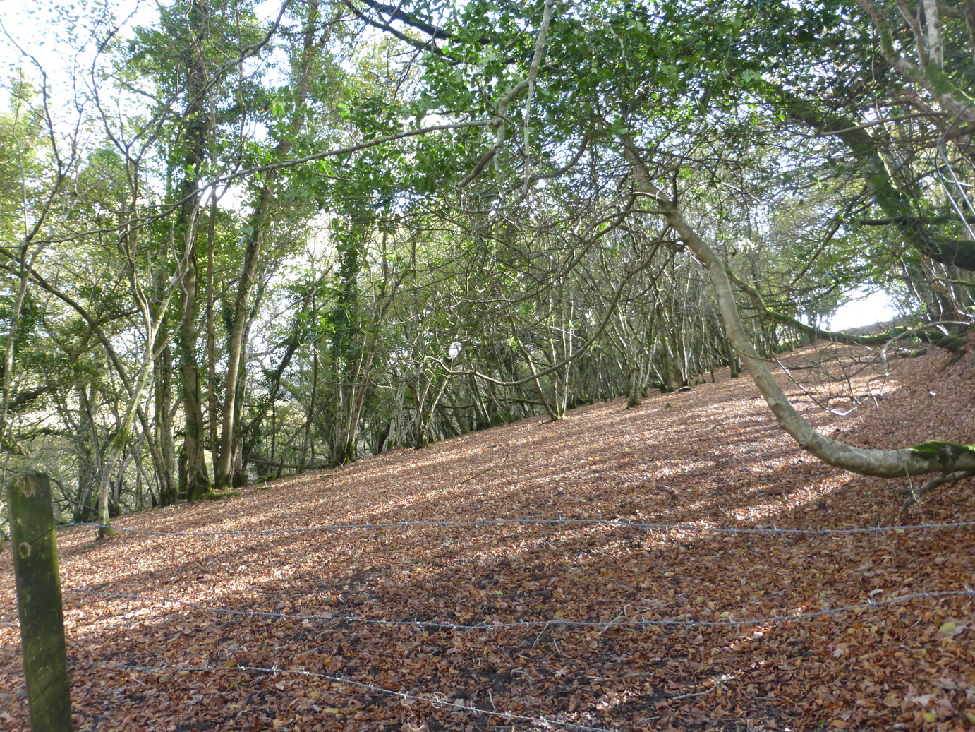
At Copshorn, on the hill above, we encountered a large solar farm which was not mentioned in the guidebook and the paths had been altered. From here, the path descended by forestry roads through a wood where, after a momentary hesitation, we managed to join up with the Camel Trail.
The Trail was one of the two highlights of this walk. This section of the familiar was much less busy than the Padstow to Bodmin section and followed the Camel river at a slight distance, through some lovely woodland. We were glad to be out of the wind and walking on firm level ground for about 4 miles, passing Hellandbridge and eventually reaching Tresarrett.
We saw only a few cyclists, runners and walkers as we chuffed our way along the old railway track. Despite one’s childhood dreams, a career driving a steam train must have been a relatively repetitive process with cold mornings, rain, and constant smoke and coal dust. Yet some lines must have been a joy and this is surely one of them, watching the changing seasons in the trees and river as the line winds upwards between the outpost of Wenford and the busy metropolis of Bodmin.
The granite bridge which only crosses part of the river
From a road junction at Tresarrett a short uphill section led to some more muddy tracks which dropped down into another valley, across a narrow granite bridge, and up a steep slope emerging right beside the lovely Blisland church. Here we settled down to a lunch which included some warming and welcome soup.
Tearing ourselves away from the delights of the village green, we headed north through Pendrift.
Our next objective was the area around the de Lank quarries, the second highlight of the walk. The evidence of the quarry’s work had been very evident as all the houses and cottages we had seen had been built of solid granite.
Pendrift moor. Spot the ‘solitary hawthorn tree’
We soon found ourselves back on waterlogged and very muddy ground, especially as we emerged onto the wide-open spaces of Pendrift Downs.
Somewhere here, amongst the dead and brown bracken, we were told to turn off at a ‘solitary hawthorn tree’. It is a mistake to use trees as waypoints, certainly in an area which was covered in hawthorns. We chose one and found something of a path which led in much the right direction and continued, hopping from tussock to tussock. ‘In winter this path can get wet underfoot’ said the guidebook. I should say it can.
The de Lank river
It was worth the effort however as we soon found ourselves crossing the de Lank river which gushed and tumbled over the boulders, heading for Wenford. The guidebook likens this to the Golitha falls.
Crossing the old quarry road, the path went through the muddiest possible field inhabited by some cold-looking cows. Thankfully, the hard surface was not far below the surface but our boots were now thoroughly caked with the resulting mud (as were some socks).
Eventually, we emerged on a road and were able to follow a path into the beginnings of the long string of hamlets that makes up St Breward. A final muddy path past the school and we had reached our destination: the Old Inn next to St Breward church.
The temperature was beginning to drop and we were pleased to be able to visit the church.
We had covered 10 miles (according to the guide), 11 miles (according to the map) or 15 miles according to our gps, in 5 hours. The heating in the car was very welcome.
Autumn was doing its very best and the countryside was covered with the rich browns of fallen beech leaves, the trees bare against the pale sky illuminated by a bright low sun. It was a fresh November day which threatened an occasional light shower.
We were back on the Copper Trail again, at last.
We rejoined the route at St Neot, where we left of, heading north towards Hilltown Farm before dropping down to the lovely Loveny river.
Colliford residents
The way took us on a cart track up over Penkestle Moor. The path here was muddy despite the lack of recent rain and we were soon jumping from tussock to tussock to ensure dry boots. A short sharp hail shower was the only actual rain we saw all day and not enough to slow us up.
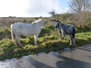
Emerging at the bottom of Colliford Lake dam, we met some of the local residents before turning west towards Carburrow tor which was prominent for some time.
Although part of the Trail covers quite a bit of road, much of the stretches are short and very empty of traffic. This gives it a degree of variety and, in wet weather, the hard roads are almost welcome.
Above Treveddoe valley
Although all part of Bodmin Moor, the area consists of very green fields, wooded valleys and large patches of rough open moorland. much of it covered in scattered stones and remains of former settlements.
Carburrow tor is an archaeologist’s jigsaw puzzle of settlements with long house, cairns, and the remains of many round huts.
We drank a welcome cup of coffee at the foot of the tor before crossing Warleggan down and descending a road to to Treveddoe, a beautifully-situated house at the head of a wooded valley.
Wheal whisper – the ‘dry’
The path dropped down the field and past the remains of Wheal Whisper tin mine. Some small buildings, a landscaped quarry and some well-dressed walls are all that remain of a once-flourishing concern. There was more jumping over tussocks here.
We emerged onto a road and into the village of Mount.
Just outside Mount there was a wonderful signpost, very typical of the ones around Warleggan (‘twinned with Narnia’): great white slabs of wood on elegant posts. This one was held in place by an iron bracket and helpfully offered Bodmin as a destination on two of its three arms.
The inscribed crosses
The road passed the small Treslea Down cross and then two inscribed stones above Welltown. The latter were high up on the top of a Cornish wall at a crossroads and had surely been moved there in the past. Ancient stones continue to provide their usual purpose as waymarkers.
Crossing the unusually tidy greens at Little Downs, we headed towards the remains of Cardinham castle. Sadly, there is very little to be seen from the road. The route squeezes down a muddy track – a narrow ‘bridle path’ – past the old mill before rising up towards the village of Cardinham, the church tower very visible on the hill ahead. This must have been the main route from castle to church.
Cardinham church has some wonderful churchyard crosses and is well worth a detour.
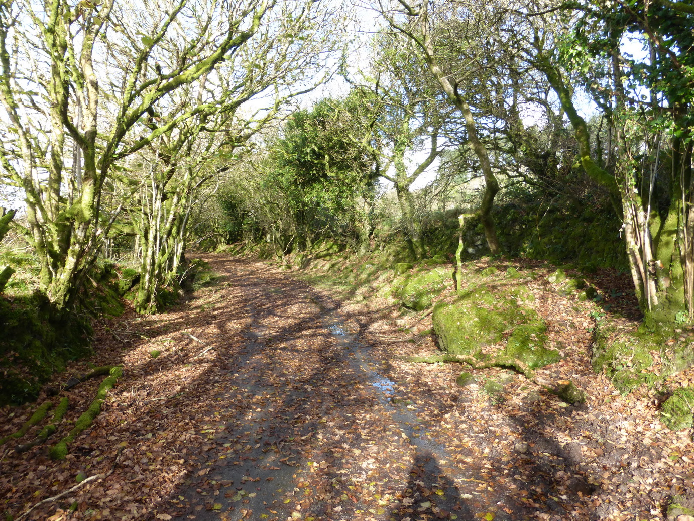
After a bite of lunch, we set off for Cardinham woods. The excellent Copper Trail guide does like the word ‘eventually’ as in ‘follow the track which eventually comes out …’ It encourages confidence that the future will come true.
We ‘eventually’ reached a sign which confirmed that we were entering the woods themselves. We were warned to expect joggers, walkers, dogs and horses. We were not warned to expect a bunch of men wrapped up in leather jackets and goggles, driving open cars on a treasure hunt and beaming from ear to ear. There was no sign of any horses.
The neglected Callywith crosses
The final stretch up through Deviock wood was a long haul. By now the sun had lost its strength and we were walking in shadow. ‘Eventually’ we emerged onto a track said to be much frequented by rabbits – we saw none – the sound of the A30 a dull roar in the distance. A short way across a field, one of those really muddy gateways and a soggy track and we were back onto a tarmac road past Callybarrett Farm and a waiting car.
A final joy was hidden under a hedge at the edge of a bramble patch, below a modern embanked road: two of the saddest-looking wheel-headed crosses we have yet come across. They stand side by side, apparently neglected. Leaving crosses in situ is clearly a preferred strategy but it seems sad that these two have not been given a more decent prospect than looking out at brambles and listening to the road of the A30 fifty metres away.
After 5 hours we had walked 11 miles (Google), 16.5 miles (our gps) and returned for a well-deserved hot bath. The Copper Trail is proving to be a well-thought out and enjoyable route.
Cornwall Council does have a sense of humour after all!
A bright sunny day after a few days of heavy rain tempted us out to start the Copper Trail which had been on our agenda for some time. We decided to start at the beginning at Minions where we discovered that Cornwall Council does have a sense of humour after all.
On the roadside opposite the road sign stood the tall Long Tom wheel-headed wayside cross which may well be an original menhir.
This section of the trail was full of interest and variety, ranging from ancient monuments churches and holy wells, to C19 mining natural delights.
The Hurlers
The real start of our walk was at the Hurlers and Pipers. The Hurlers consists of three Bronze Age stone circles close to each other: a rare formation but no help in understanding how and why stone circles were used.
The trail proper starts by following a disused railway/tramway south from Minions. Lumps of granite are marked with holes where the rails were originally connected. A short distance ahead, the track descends the former Gonamena incline, emerging eventually at Crow’s Nest. To the east, the remains of the South Caradon mine bespatter the side of Caradon Hill with its enormous television transmitter.
Trevethy Quoit
Our next monument was Scillonian portal tomb of Trevethy Quoit, possibly Cornwall’s oldest structure: an enormous neolithic dolmen. Sadly a row of houses rather encroaches on its setting but on a fine day, there can be few better sights.
The purpose of the hole in the capstone is unknown.
In the distance, the tower of St Cleer was visible above the trees and we took an overgrown bridleway which would never have accommodated a horse, down the hill to Trecarne (where the houses all seemed to have ‘Carne’ in their names). Here, we left the trail to take a detour to visit St Cleer with its holy well and church.
St Cleer holy well
The holy well, dedicated to St Clare of the order of Poor Clare’s – St Francis’ friend – is an elaborate structure which successive restorations has rather hemmed in with an inelegant wall. Its waters, we are reliably informed, will cure insanity but they are sadly inaccessible, which may explain a lot.
Alongside stands a C15 Latin cross.
We rejoined the main trail near South Trekeive. It would have been a short step to the C8 King Doniert’s Stone – or stones – with its inscription and lovely Celtic knotwork but we had already visited them on the way to Minions.
At South Trekeive we passed our third water treatment works of the day – always a delight – before crossing Bulland Downs and emerging at Draynes Bridge.
Golitha falls on the River Fowey
A short detour through some lovely woodland – a nature reserve – is highly recommended to view Golitha Falls. Here we found various people wandering around asking ‘are these the falls?‘ in the manner of someone expecting Victoria Falls on a charming Cornish river.
We can recommend the reserve for dog walking, adventures and picnics.
Back to the road and a steep climb up to the hamlet of Draynes before an equally steep decline to the converted Methodist chapel at Lower Trenant. From here, the track took us into the lovely Periock Wood, following a stream up a muddy path towards Lower Bowden. Here the farmer had helpfully cut a track across an unharvested hay field to indicate the ‘right route’.
St Neot holy well
We emerged close to the almost invisible Berry Castle and cut across some open moorland before descending towards St Neot, hidden in the valley below. A quick detour to the hopelessly Victorian holy well brought us eventually to St Neot’s wonderful church with its incredible windows.
Here we ended the first stage of the Copper Trail. Our gps said we had walked over 12 miles in about 4.75 hours although Google Maps stubbornly suggests nearer 9 miles.
If the later sections of the trail are as full of interest as this section then we are in for a treat.
We left our exploration of the Tamar valley somewhat hanging in the air after our walk to Cotehele. We had found somewhere to launch our canoes. It was all a question of waiting for the right tide and a gap in diaries.
The aim of this expedition was to canoe the tidal Tamar to Cremyll Ferry and thus to complete our circum-navigation/walk around Cornwall. Unusually, we had invited friends to join us as part of our joint exploration of Cornwall’s rivers.
Walking the Saints’ Way, as we were last weekend, makes one think more about the geography of the Bodmin-Lostwithiel corridor.
We are so influenced by modern communications that the two towns seem to live in their own bubbles. Bodmin hugs the A30 and is generally approached along it. Lostwithiel hugs the other major road in the area, the A390, which distributes traffic east and west.