Newbridge to Milton Abbot

p1080221
Early morning

We picked up our journey where we left off, at a junction near Newbridge. A light rain – ‘heavy dew’ –  was falling as we stepped out.

It was early which is always a wonderful time to be walking. Ahead of us the mist was lifting from the valleys creating a magical, almost artistic effect.

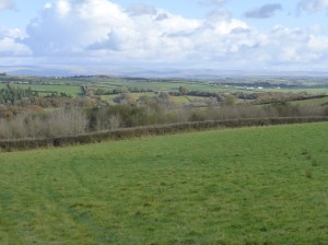
Ahead, the roads were initially much the same as the previous day but as we dropped down to Bridgetown, the character changed. While we had been away the river had grown up a bit and had established its own mini flood plain.

p1080226
River Ottery

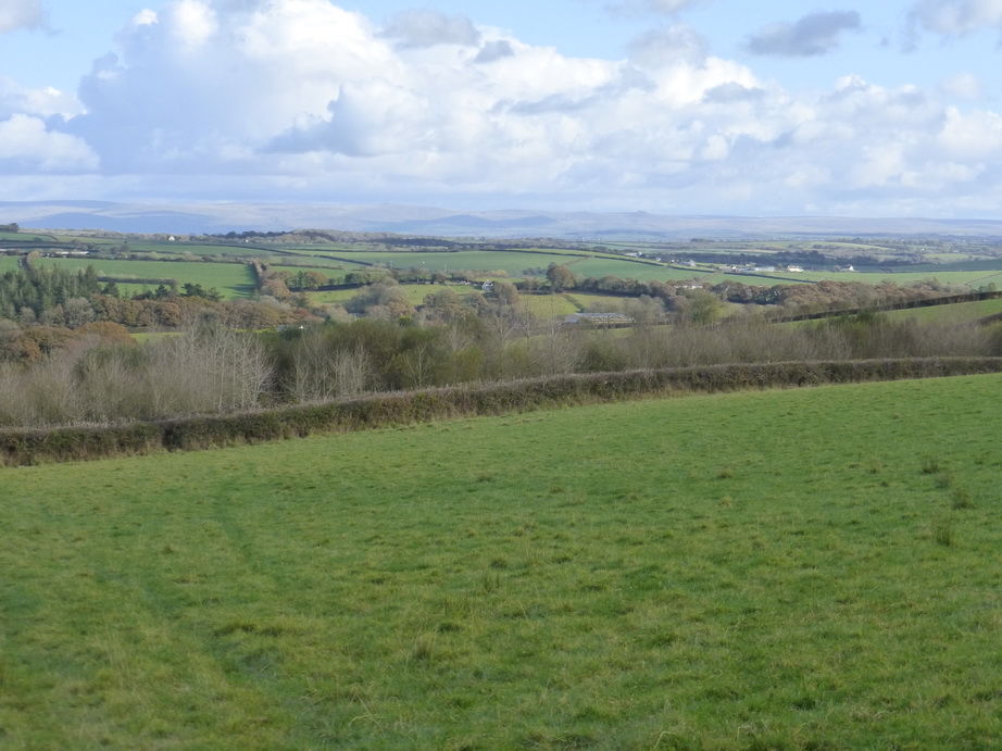
The stretch through Crossgate, close to Druxton Bridge was a joy. The road followed the edge of the higher ground. It was instantly more prosperous. The simple open pastoral fields we had experienced further north gave way to arable fields and paddocks. The landscape was tidier too.

Near Werrington, the significant river Inney joined the Tamar, adding considerably to the volume of water in the river.

A short stretch on the A388 took us through a garden centre and onto a footpath for the first time in many miles. We were soon back on a road again, re-tracing some former steps towards Polson bridge.

p1080230
St Leonard’s packhorse bridge

By now we had joined the Tamar Valley Discovery Trail with its apple symbols. If you follow this then be warned: the apple symbols are often overgrown with ivy and it has a habit of deserting you at critical moments.

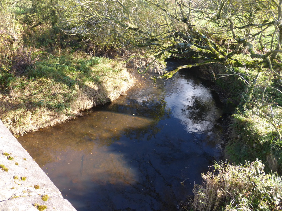
The St Leonard’s water treatment works was as delightful as ever while close by polite children were passing their Sunday mornings exercising their mounts walking around a dressage ring. Hidden away was the tiny packhorse bridge over the river Kensey which we had spotted before, now covered in a spectacular carpet of orange leaves.

p1080256
Greystone bridge

We crossed over the A30, the usual dividing line between the ‘tougher’ landscape of north and ‘softer’ south Cornwall, and made our way to Lawhitton where we visited the unusual church.

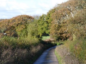
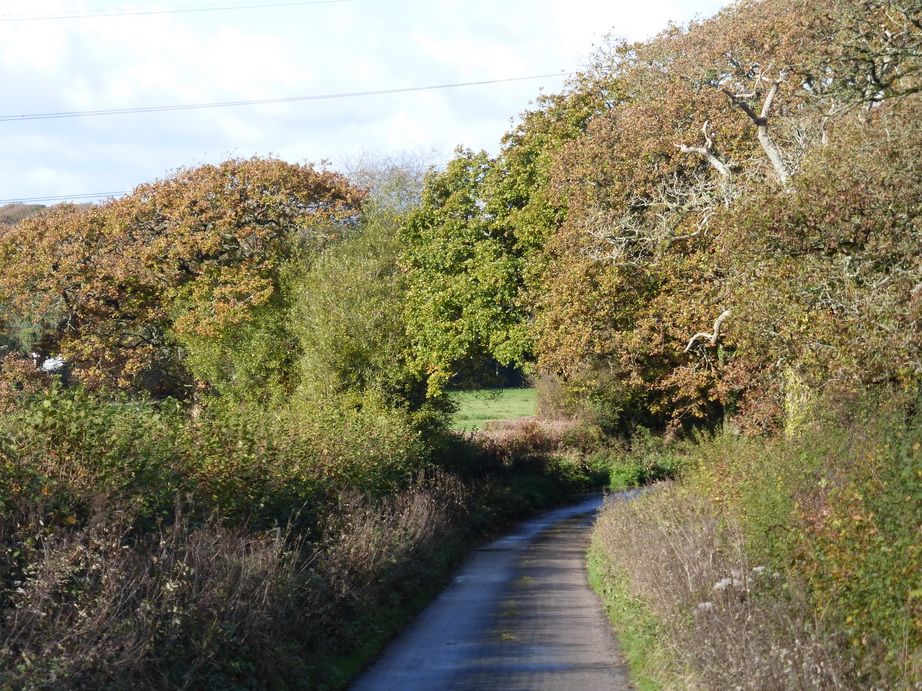
We were back on very narrow lanes again, which we followed down a steep hill to Greystone bridge.

There were frantic warning signs about ‘uneven road surface’, ’10mph maximum’ and ‘danger of skidding’. No driver can keep to this sort of speed on empty roads. The road was so narrow that no driver could speed and any skidding would only damage the car as each side consisted of a Cornish bank. Perhaps there should be a sign at Polson bridge saying ‘Drivers use all roads in Cornwall at their own risk’. It would be cheaper.

p1080259
Felldownhead cider barn

At Greystone (the bridge dates from 1439) the Tamar enters a small gorge which stretches beyond Gunnislake.

What the books had not mentioned was the steep 1 mile 20% climb up the other side but it was cheering to see a drinking trough at the bottom of the hill and a cider barn at the top.

We sat to eat our picnic beside a kaleidoscope of apples waiting to be processed, their sweet smell reminding us of the abundant harvest.

From here, it was a short distance to Milton Abbot where, with the clouds looking distinctly threatening, we hastened down a non-existent path across some fields and up to the church where our car awaited us.

We had walked about 13 miles in five hours, leaving ourselves a ridiculously short distance to reach our target of Gunnislake where we will start the next stage of our odyssey.


Whitstone to (near) Newbridge

p1080164

We returned to the Tamar valley over a weekend which promised to be fine, if cold, picking up where we had left off at Whitstone.

On our last walk we did a big detour, about 3 miles from the river, to avoid walking down the B3254 super-highway or crossing the border into Devon for too great a distance. On this walk we were faced with another detour in the other direction, as much as anything because of the lack of roads following the river.

As our last posting said, the upper reaches of the river are characterised by low rolling hills with few villages, scattered farmsteads, plenty of clay soils and cattle standing around in green fields. The roads join up these farmsteads. The B3254 is the main artery and, during its 18 mile length from Launceston to Kilkhampton, passes through no town worthy of the name. This is a wild area of open landscape where farms have been in families for generations.

p1080191
Dartmoor in the distance

Leaving Whitstone, we followed a footpath across a field which was boggy even though it had not rained significantly in recent days. This was our only foray off road for the whole day.

The rest of the time we followed lanes which came in two flavours: ‘very narrow’, which could accommodate a single car and a walker squashed into a Cornish hedge and which generally had grass down its middle; and ‘narrow’ which left rather more room for the walker unless the vehicle was a particularly large tractor driven at speed by someone who looked about 16 years of age.

p1080206

It was a day of sounds and colours and bright sunshine rather than notable sites. In the distance, in front of us, the tors of Dartmoor pointed skyward while, to our right, the familiar shapes of Bodmin moor gave us some familiar landmarks.

It has been a ‘good’ autumn with the golden leaves falling straight down and gathering at the roadsides and on woodland floors, not scattered to dark corners. In places, we were walking on a golden carpet, beech producing much the best colours.

The susurration of the trees above us in the occasional wintery gusts sent a shower of dying leaves into our path and we held our hands in front of us, determined to catch falling leaves for luck.

p1080163
Tamar at Crowford bridge

We noted the appearance of starlings, a bird which is rare further west  in Cornwall. Great murmurations were chattering away to each other, discussing the unfamiliar walkers below them.

Because of the detour, we had not seen the Tamar for some time and it was good to re-acquaint ourselves with her at Crowford bridge.

A car overtook us as we approached the ridge, drove up to it, seemed to look at Devon,  turned around and headed back into Cornwall. We understood and were respectful as we crossed the county boundary.

p1080167
North Tamerton

A mile or so later we crossed back into Cornwall, the border not being marked, and headed for Tamerton bridge where an elegant house, a former post office, kept guard on the crossing. By now, the river was looking quite grown up. A short distance away was North Tamerton church which we had to visit.

We suspect that not much happens in North Tamerton; at least judging by the sign there.

Our way lay southwards on a single road and we stretched our legs to reach Boyton for a late lunch. Here was another church in a small village on a gentle hill above the river, the shape of the valley being unmistakable.

p1080189
Beware of the fish

At Hornacott drivers are faced with a perplexing sign. Avoiding horses and dogs is relatively easy. Cats, chickens and geese are more of a problem but are generally avoidable. However, the Highway Code is strangely silent about the correct diversionary manoeuvre when fish pop up in the road. As walkers, we were thankful not to be faced with this danger.

We left Boyton as the temperature was beginning to drop and walked on a mile or so to collect our car for the end of day one of a two day expedition.

We had walked 11.5 miles in four hours, almost all of it on what passes as roads in the borderland.