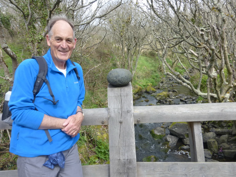
What was planned as a short walk to ‘fill in’ a gap we had not covered actually turned out to be a rather fuller day than we had planned.
Getting to the start line at Carne on Gillan creek is something of an adventure in itself, involving winding lanes, many with grass down their middles, and several abrupt stops. But it is worth it for Gillan creek with water in it is even lovelier than the Helford river if that were possible. The swans and some shelduck were dabbling about as though they owned it which, of course, they do.
We followed an inland route to Gillan which is an option involving a steep hill climb up a road and probably best avoided. It does take a sharp eye to spot the start of the path at Carne, though, as it is hidden under a large horse chestnut tree.
 Once past Gillan itself, the going was very easy over springy turf towards Nare Point where there is an National Coastwatch Initiative lookout: surely one of their more remote, even by their standards. Gurnards Head perhaps rivals it and has less shipping to watch.
This is an area of confusions for this side of the water is a St Anthony in Meneage, a Flushing and a Nare Point. Across the bay and just visible are St Anthony in Roseland, Nare Head and, just hidden behind Falmouth, the original Flushing itself.
 During WWII, Nare Point was the site of a dummy village complete with lights turning on and off to try and confuse any enemy bomber into thinking it was Falmouth, an easy mistake to make in the days before pinpoint navigation. In earlier times, the point was even considered for another Henrician castle to match those at Pendennis and St Mawes, no doubt protecting the entrance to the Helford. Perhaps it was dropped for it would be a bold captain who attempted to bring a large ship into the Helford, unless, that is, he was a Frenchman on his way to Frenchman’s Creek.
 From Nare Head the going to Porthallow was easy, along a very typical cliffside path, the destroyed side of Pol Lawrence cliff and the Cornish Sea Salt factory visible in the distance.
It was a simple matter to drop down into the cove where we rewarded ourselves with a cup of coffee, admiring the determination of the ‘Pralla-ians’ to keep things as they are. The reference to the Mohegan and Bay of Panama relates to two famous wrecks on the Manacles a few miles south, involving much loss of life. Many of the survivors were brought into Porthallow cove.
 About 3.6 miles in just over an hour did not seem like fair game and so we extended the day with a cross-country return and a visit to the beautifully sited St Anthony in Meneage church, making a day’s walk of just over a respectable 10 miles. We liked the idea of speeding swans but never did find out what bender the cignets (sic) were on.

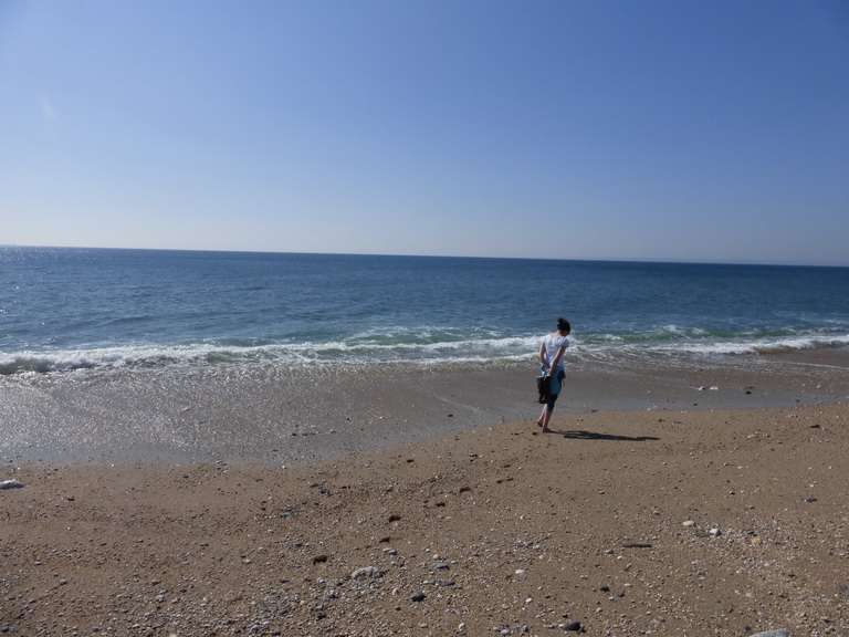
 side. The sea was calm and as clear and blue as one could wish.
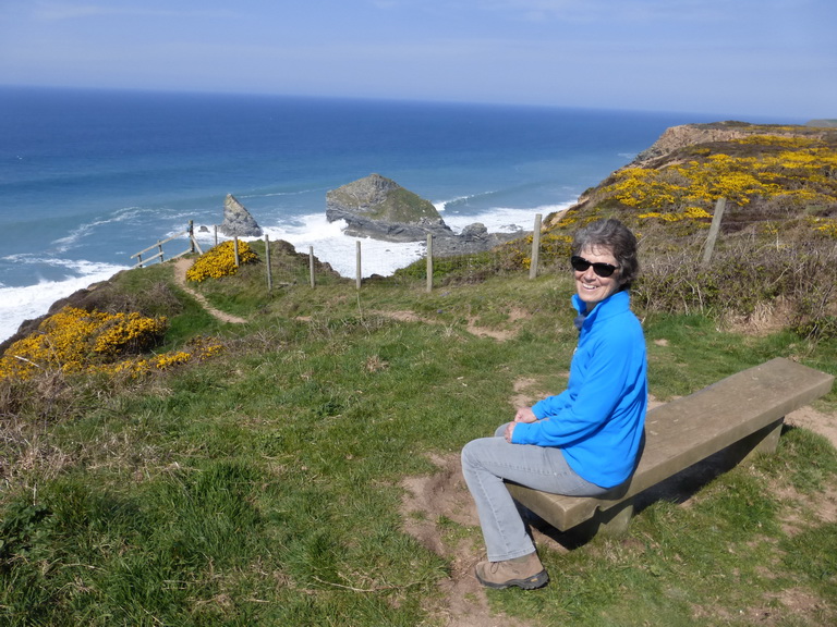
 stunning view, wondering why we should bother to carry on. But we did.
 The going, by now, had the air of a National Trust-cared for estate with stepping stones and helpful advice on signs. We were clearly approaching civilisation again.
 This was a tough part of the walk, involving several descents – which are the easy part – and then steep ups. The first one was the descent below the ‘large white’ Polurrian hotel, down a set of steps which became spine-shuddering as much as anything because of the large drop entailed with each one. We walked them in the opposite direction later in the day and quietly cursed their creator who clearly had longer legs than us.
 As we approached the top of Angrouse hill, we could see a large monument on its crest. This was Poldhu where Marconi carried out his famous experiments which culminated in the message to America and then to the South Atlantic. A humble field alongside the path was where the aerial had been erected. I looked at the mobile phone in my pocket which seemed a far cry from those early days, just over 100 years ago, when he achieved so much pioneering work from this remote Cornish cliff.

 A couple of nasty downies and uppies tested our muscles and endurance but if a Jack Russell and Labrador could do it then so could we.

 It was the wreck of HMS Anson which moved Henry Trengrouse to invent the ship-to-shore rocket carrying a light line as a precursor to a rope. This technique, so simple in concept, eventually led to the saving of many lives.


 Our first sign of population was at Cadgwith, surely the most photogenic and famous fishing cove, tucked into a corner facing east: everyone’s idea of a Cornish fishing village from generations of calendars and chocolate boxes.
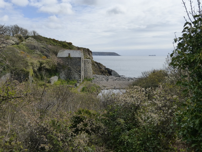


 Approaching Chynalls point we could see yet another large white ‘former hotel’ now converted to some other use, probably a care home. This promoted us to wonder at the way we put our old people in remote places with empty views of the sea when it might well be company and activity that they really desire.